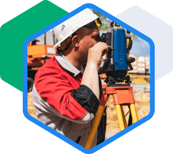
Storino Geomatics, PLLC provides professional land surveying, mapping, and geospatial services across Upstate New York, Vermont, Pennsylvania, and New Jersey. With over 60 years of combined experience, we deliver precise boundary surveys, construction layout, stormwater management solutions, and FEMA elevation certifications using advanced technology. Our client-centric approach ensures timely, cost-effective results tailored to municipal, commercial, and residential needs.
Boundary Surveys
ALTA/NSPS Surveys
Subdivisions
Responsive, accurate, stress-free
Quality of work second to no one
Professional, timely, knowledgeable partner