Business Details
49 Years
experience
Trusted Land Surveying Services in Darien, CT
Established in 1977, William W Seymour & Associates has built a legacy of excellence in land surveying and land use consulting. Our firm, originally founded by William W. Seymoura pivotal figure in shaping Connecticut's surveying standardscontinues to deliver high-quality services under the leadership of President Jeffrey W. McDougal. With decades of combined experience, we specialize in residential, commercial, and municipal surveying, utilizing cutting-edge GPS and robotic technologies to ensure precision.Our expertise extends to hydrographic surveying, coastal permitting, and complex land development projects, supported by memberships in leading professional organizations like the National Society of Professional Surveyors. We prioritize client satisfaction through accurate data visualization, compliance with state and federal regulations, and a commitment to advancing surveying practices through continuous staff training and technological innovation.
Services
Residential Land Surveying
Commercial Land Surveying
Hydrographic Surveying
Coastal Permitting
ALTA/ACSM Surveys
FEMA Flood Certificates
Subdivision Design
Topographic Surveying
Land Use Consulting
Construction Layout
Details
- Year established: 1977
Highlights and features
- We offer 40+ years of experience in Connecticut land surveying standards.
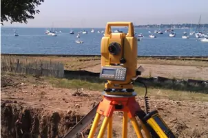
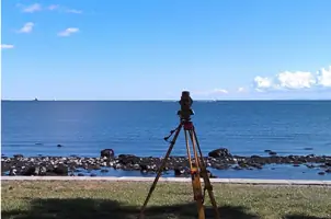
- Our team uses state-of-the-art GPS and robotic total station equipment.
- We provide customized solutions for complex residential and commercial projects.
- Our staff includes certified professionals with expertise in coastal permitting.
- We guarantee accurate, visually concise results compliant with state regulations.
Services
Residential Land Surveying
Residential surveys establish property boundaries for real estate transactions or land division. Our services include boundary surveys, zoning location reports, and construction layout. We ensure compliance with Connecticut regulations while providing accurate documentation for homeowners and real estate professionals.
Commercial Land Surveying
Commercial surveying supports developers and businesses with subdivision design, lot layout, and regulatory compliance. We maximize land use efficiency while maintaining aesthetic standards and state requirements. Our services include topographic mapping and ALTA/ACSM surveys for large-scale projects.
Hydrographic Surveying
Hydrographic surveys map underwater terrain for coastal and inland water projects. We use advanced sonar and GPS technology to collect precise bathymetric data. This service supports dredging operations, environmental assessments, and maritime infrastructure planning.
Coastal Permitting
Coastal permitting assistance ensures compliance with environmental and regulatory requirements for waterfront projects. We prepare detailed documentation for agencies like NOAA and USACE. Our expertise streamlines approvals for docks, seawalls, and shoreline restoration.
ALTA/ACSM Surveys
ALTA/ACSM surveys meet national standards for commercial property transactions. We identify boundary details, easements, and improvements to satisfy lenders and title companies. These comprehensive surveys minimize legal risks for high-value real estate deals.
People
Jeffrey W. McDougal
President
Jeffrey W. McDougal, President of William W Seymour & Associates, has led the firm since 1997. With decades of experience in Connecticut land surveying, he maintains the high standards established by founder William Seymour. McDougal specializes in municipal projects and regulatory compliance.
Questions
What types of surveys do you offer?
We provide residential, commercial, and municipal surveys including boundary surveys, ALTA/ACSM surveys, FEMA flood certificates, and hydrographic surveys.
How long does a typical survey take?
Most residential surveys take 1-3 days depending on property size and complexity. Commercial projects may require additional time for regulatory coordination.
Are your surveys compliant with Connecticut regulations?
Yes, all our surveys meet Connecticut's Standards for Surveys and Maps and federal requirements for accuracy and documentation.
Can you assist with coastal permitting?
Yes, we specialize in coastal permitting documentation for projects requiring NOAA, USACE, or state agency approvals.
Do you use modern surveying technology?
We utilize GPS, robotic total stations, and AutoCAD/Civil3D software for precise data collection and visualization.
How do I request a survey estimate?
Contact us via phone or email with your project address and requirements to receive a customized proposal within 2-3 business days.
Reviews (1)
Patty Reis
Jun 10, 2018
Report
I have worked with William W Seymour & Associates both personally for survey work at my own home and professionally on behalf of clients as a licensed Realtor. They are professional, responsive and reliably the experts for land surveying in our area. They will always be my first call for any surveying needs.