 A comprehensive list of Tucson, AZ based commercial and residential companies offering quantity, land, property, building & construction surveying services. Read customer reviews of local surveyors.
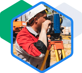
High-tech geospatial engineering and land surveying services including 3D scanning, aerial data collection with drones, laser tracking and conventional GPS based services that deliver accurate, repeatable and measurable geospatial data in less time without putting your people at risk. Our experts find the best fit for your project using aerial imaging and/or ground-based GPS and 3D scanning to capture
Leone Nell Smets — Confronted with an extremely complex problem of resolving easements, abandoned properties, and structures that were built