
Business Details
28 Years
experience
Expert Land Surveying Services in Austin
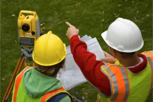
Chaparral Professional Land Surveying has been a trusted provider of comprehensive land surveying services in Central Texas since 1998. Our team of licensed professionals brings over 25 years of combined experience to deliver precise and reliable surveying solutions for both public and private sector clients. Specializing in drone, boundary, tree, and topographic surveys, we utilize cutting-edge technology to meet the evolving needs of our customers. Our commitment to excellence is reflected in our fast response times, accurate deliverables, and personalized service. As a family-owned business, we prioritize building long-term relationships with clients through transparency, integrity, and unmatched expertise. Our certifications and affiliations with leading industry organizations underscore our dedication to maintaining the highest standards in the field.From small-scale projects to large infrastructure developments, we ensure every client receives tailored solutions that meet their unique requirements. Our proven track record of successful projects across Austin and surrounding areas demonstrates our ability to handle complex surveying challenges with efficiency and precision. By staying at the forefront of technological advancements, we continuously enhance our capabilities to provide superior service. Whether you need a boundary survey for residential property or a topographic study for commercial development, our team is equipped to deliver results you can trust.

Services
Drone Surveying
Boundary Surveys
Tree Surveys
Topographic Surveys
Construction Staking
Hydrographic Surveys
Subdivision Platting
Aerial Control
GPS Surveys
ALTA Surveys
Details
- Year established: 1998
Highlights and features
- We offer over 25 years of experience in land surveying across Central Texas.
- Our team provides fast estimates and responses for time-sensitive projects.
- Licensed and certified by state and national surveying organizations.
- Family-owned business committed to personalized, client-focused service.
- Free initial estimates with no obligation for all surveying needs.
Associations and certifications
- Texas Board of Professional Engineers and Land Surveyors
- Texas Society of Professional Surveyors
- National Society of Professional Surveyors
What people say
Fast responses
Licensed services
Exceptional surveying
Prompt completion
Efficient deliverables
Services
Drone Surveying
Our drone surveying services utilize advanced UAV technology to capture high-resolution aerial data for topographic mapping, construction monitoring, and land analysis. This method provides cost-effective, accurate results for projects of all sizes. Clients benefit from faster data collection and reduced field time compared to traditional methods.
Boundary Surveys
We conduct precise boundary surveys to establish property lines, resolve disputes, and prepare legal descriptions for real estate transactions. Our surveys meet all state requirements and are performed by licensed professionals. Clients receive detailed documentation to ensure clear title transfers and compliance with local regulations.
Topographic Surveys
Our topographic surveys map natural and man-made features to create detailed elevation models for engineering, construction, and environmental planning. We use GPS and LiDAR technology to ensure accuracy. Results support drainage studies, site development, and infrastructure design with reliable terrain data.
Construction Staking
We provide construction staking services to mark precise locations for buildings, roads, and utilities based on engineering plans. Our team ensures proper alignment and elevation for project implementation. Clients gain confidence in accurate field execution, minimizing costly rework during construction phases.
Tree Surveys
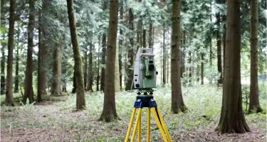
Our tree surveys document species, size, and condition to support land development while preserving valuable vegetation. We identify protected trees and create mitigation plans when required. Clients receive actionable data to balance project needs with environmental stewardship and regulatory compliance.
People
Paul J. Flugel
Senior Project Manager
Registered Professional Land Surveyor with expertise in public and private sector projects, including boundary, topographic, and GPS surveys, as well as construction layouts and easement acquisitions.
Kevin Pata
President and CFO
Certified Public Accountant with 35 years of financial expertise, overseeing company operations while actively participating in professional surveying organizations to ensure technical excellence.
Questions
What types of surveying services do you offer?
We provide drone, boundary, tree, topographic, construction staking, hydrographic, and ALTA surveys for residential, commercial, and governmental clients in Central Texas.
How long has your company been in business?
Chaparral Professional Land Surveying has served Austin and surrounding areas since 1998, with over 25 years of combined team experience in the industry.
Do you offer free estimates?
Yes, we provide free initial estimates with no obligation for all surveying projects, ensuring transparent pricing for our clients.
What areas do you serve?
We primarily serve Austin, TX and surrounding Central Texas areas, including Pflugerville, Cedar Park, and Leander.
Are your surveyors licensed and certified?
Yes, our team includes licensed professionals certified by Texas Board of Professional Engineers and Land Surveyors and other national organizations.