Business Details
25 Years
experience
Professional Land Surveying Services in Newport News
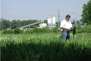
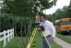
Michael Surveying & Mapping has been delivering professional land surveying services since 2001, serving architects, engineers, municipalities, and private clients across Virginia and North Carolina. Our team of licensed surveyors brings over 60 years of combined experience, utilizing advanced technology to provide tailored solutions for boundary surveys, topographic mapping, and construction projects. We maintain close client relationships to ensure precision and efficiency, operating under the direct supervision of Virginia and North Carolina licensed professionals. Our commitment to integrity and innovation has earned recognition from industry organizations like the American Congress on Surveying and Mapping. We combine large-company capabilities with small-business flexibility, prioritizing timely project delivery and proactive problem-solving. Our expertise spans hydrographic surveys, GIS mapping, and underground utility designation, supporting diverse industries including oil, real estate, and federal contractors. With headquarters in Newport News, Virginia, we serve commercial, residential, and governmental clients throughout the Mid-Atlantic region. Our mission remains focused on quality service delivery, technological advancement, and maintaining absolute professional integrity in every project.
Services
ALTA/ACSM Surveys
Boundary Surveys
Construction Staking
Topographic Mapping
Hydrographic Surveys
GIS Mapping
Underground Utility Designation
FEMA Elevation Certificates
Subdivision Design
Expert Witness Services
Details
- Year established: 2001
Highlights and features
- 60+ years of combined experience in land surveying
- Direct supervision by Virginia and North Carolina licensed professionals
- Advanced GPS and laser scanning technology implementation
- Proactive client-focused problem-solving approach
- Recognized industry membership in professional surveying organizations
Associations and certifications
- American Congress on Surveying and Mapping
- Virginia Association of Surveyors
- Professional Land Surveyors of North Carolina
Services
Boundary Surveys
Our boundary surveys precisely determine property lines using advanced GPS technology and historical records. This service helps resolve disputes, supports real estate transactions, and ensures compliance with local regulations. Clients receive detailed documentation for legal protection and development planning.
Topographic Mapping
We create detailed topographic maps showing natural and man-made features using 3D laser scanning. This data supports construction planning, environmental assessments, and infrastructure development. Our digital terrain models help engineers and architects visualize project sites accurately.
Construction Staking
Our construction staking services ensure accurate implementation of design plans through precise field markings. We support commercial and residential projects with layout verification for foundations, utilities, and structures. This service minimizes costly errors during building development.
Hydrographic Surveys
We conduct hydrographic surveys to map underwater terrain for coastal engineering and environmental projects. Using specialized equipment, we collect data on water depths, shorelines, and submerged features. This information supports dredging operations and floodplain management.
Underground Utility Designation
Our utility designation service identifies subsurface infrastructure using electromagnetic detection. This prevents damage during excavation and supports safe site development. Clients receive detailed maps showing water, sewer, and electrical lines for project planning.
People
Paul W. Michael, Jr.
President
President Paul W. Michael, Jr. leads with over 20 years of surveying experience, holding licenses in Virginia and North Carolina. His proactive approach ensures client satisfaction through technical excellence and timely project delivery.
Questions
What surveying services do you offer?
We provide boundary surveys, topographic mapping, construction staking, hydrographic surveys, and underground utility designation using advanced GPS technology.
Are your surveyors licensed professionals?
Yes, all projects are supervised by Virginia and North Carolina licensed professional surveyors with over 60 years combined industry experience.
Which areas do you serve?
We primarily serve Newport News, Hampton Roads, and Virginia Beach areas, with projects extending to North Carolina coastal regions.
How do you ensure survey accuracy?
We use GPS receivers, total stations, and 3D laser scanning equipment combined with traditional methods to guarantee precise measurements and data collection.
Can you handle both commercial and residential projects?
Yes, we serve architects, engineers, municipalities, and private homeowners with customized surveying solutions for all project types.