
Business Details
46 Years
experience
Emergency
services
Professional Surveying and Engineering Solutions Since 1980
Morris P Hebert has been a leader in professional surveying, engineering, and environmental services since 1980. Our team combines decades of industry experience with cutting-edge technology to deliver client-focused solutions for complex projects. We specialize in surveying, remote sensing, unmanned aerial systems (UAS), high-definition laser scanning, and environmental compliance. Our commitment to safety, innovation, and technical excellence ensures reliable results for clients across diverse industries. With offices in Houma, LA, Houston, and Midland, TX, we serve projects nationwide. Our expertise includes pipeline engineering, GIS solutions, confined space inspections, and regulatory permitting.We maintain rigorous adherence to FAA regulations for UAS operations and invest in advanced tools like LiDAR and photogrammetry. Our client-centric approach emphasizes cost-effectiveness, timely delivery, and environmental stewardship. This philosophy has earned us a strong reputation for tackling challenging projects in energy, infrastructure, and coastal restoration sectors. Backed by family values and a legacy of integrity, we continue to provide tailored solutions that meet evolving industry demands.

Services
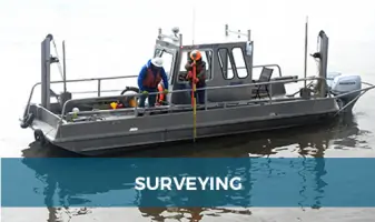
Surveying
Remote Sensing
Unmanned Aerial Systems
Laser Scanning
Confined Space Inspection
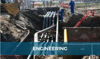
Engineering
GIS Solutions
Environmental Services
Details
- Year established: 1980
Highlights and features
- We have over 40 years of experience in surveying and engineering.
- We utilize advanced UAS and LiDAR technology for precise data collection.
- Our team includes FAA-certified drone pilots with thousands of flight hours.
- We maintain a comprehensive UAS Flight Operations Manual and safety program.
- We serve diverse industries including energy, infrastructure, and environmental sectors.
Associations and certifications
- FAA Part 107
Services
Unmanned Aerial Systems
Our UAS services utilize FAA-certified drones to collect high-resolution aerial data for mapping, inspections, and environmental monitoring. We deploy advanced sensors for LiDAR, photogrammetry, and gas detection across energy, construction, and disaster recovery projects. With strict adherence to FAA regulations, our pilots deliver safe, efficient data collection for complex sites.
High Definition Laser Scanning
HDLS technology captures precise 3D models of structures and landscapes for engineering analysis and BIM applications. We process point cloud data to create detailed deliverables for pipeline integrity, historical preservation, and construction projects. Our scanners achieve 1-3cm accuracy, enabling clash detection and dimensional control for industrial facilities.
Confined Space Inspection
We conduct safe, efficient inspections of tanks, pipelines, and hazardous environments using specialized UAVs. This technology reduces personnel exposure to risks while providing high-resolution video and infrared imaging for asset condition assessments. Applications include offshore rigs, chemical plants, and sewer systems.
Pipeline Engineering
Our pipeline services cover route analysis, HDD design, and terminus facility planning for oil & gas clients. We provide turn-key project management from permitting to construction, ensuring compliance with federal regulations. Our engineers optimize pipeline layouts for cost-effectiveness and environmental sustainability.
Environmental Permitting
We secure federal and state permits for projects in sensitive ecosystems, including NEPA documentation and wetland mitigation plans. Our team manages compliance with Clean Water Act regulations and coordinates with agencies like the U.S. Army Corps of Engineers. Services include biological surveys and endangered species protection strategies.
People
Morris P Hebert
Chairman of the Board
Founder with over 40 years of experience in surveying and engineering. Established the company's commitment to client-focused solutions and technological innovation.
Brian P. Hebert
Co-CEO
Co-leader driving strategic growth and operational excellence. Focuses on expanding UAS capabilities and maintaining industry-leading safety standards.
John M. Hebert
Co-CEO
Co-CEO overseeing project execution and client relations. Ensures delivery of cost-effective solutions while maintaining technical excellence across all service lines.
Questions
What industries do you serve?
We serve energy, infrastructure, environmental, and industrial sectors including oil & gas, renewable energy, and coastal restoration projects.
Are your drone pilots certified?
Yes, all UAS pilots hold FAA Part 107 certification with thousands of combined flight hours and comprehensive safety training.
Can you handle emergency response projects?
Yes, our rapid deployment teams provide emergency response services for disaster recovery and critical infrastructure inspections.
What geographic areas do you cover?
We operate nationwide with primary offices in Louisiana and Texas, strategically positioned for Gulf Coast and energy corridor projects.
Do you offer 3D modeling services?
Yes, we convert LiDAR and photogrammetry data into detailed 3D BIM models for construction, maintenance, and historical preservation applications.
How do you ensure regulatory compliance?
Our environmental team specializes in federal permitting, including NEPA documentation and Clean Water Act compliance for complex projects.