
Business Details
23 Years
experience
Your Trusted Land Surveying and Mapping Experts in Tustin, CA
Welcome to D. Woolley & Associates, an established land surveying and mapping firm serving diverse clients across California and Nevada. Our licensed professionals combine skilled staff, cutting-edge equipment, and meticulous survey methods to deliver prompt, efficient service. We specialize in property boundary disputes, ALTA/NSPS Land Title Surveys, geodetic control, and monument preservation, adhering to state laws and local ordinances. Our firm supports public agencies and private companies by providing expertise in QA/QC survey project management and construction staking.We distinguish ourselves through government agency experience and a commitment to adopting innovative technologies. Clients trust our reputation for accuracy, innovation, and professionalism, ensuring every project meets or exceeds industry standards. We prioritize client needs, offering tailored solutions that reflect our deep understanding of geomatics, electromagnetic locating, and geophysical concepts.
Services
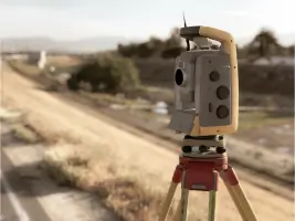
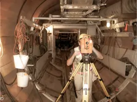
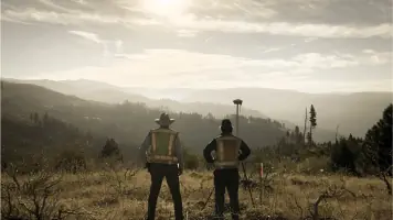
Land Surveying
Subsurface Utility Locating
Geographic Information Systems
Partner Request
Contact
Details
- Year established: 2003
Highlights and features
- Licensed in California and Nevada with skilled staff and latest equipment
- Specialize in ALTA/NSPS Land Title Surveys and geodetic control
- NULCA-certified utility locators for subsurface safety and accuracy
- Proven track record with government contracts since 2003
- Pioneers in integrating new technology with traditional surveying methods
Associations and certifications
- NULCA
- NSF-ISR
- Common Ground Alliance
Services
Land Surveying
Our land surveying services encompass property boundary disputes, ALTA/NSPS Land Title Surveys, and geodetic control. We utilize advanced technology to ensure precision for construction, monument preservation, and governmental QA/QC projects. Clients benefit from our adherence to state laws and commitment to exceeding industry standards.
Subsurface Utility Locating
NULCA-certified crews perform subsurface utility locating using Ground Penetrating Radar and potholing. We comply with NSF-ISR and Common Ground Alliance standards to ensure safety and accuracy. Services include utility mapping, project markout, and GIS integration for public and private infrastructure projects.
Geographic Information Systems
We provide GIS mapping and training to maintain survey-accurate as-built databases for utilities. Our team bridges geomatics, electromagnetic locating, and geophysical concepts to meet California's legal requirements for new installations. Services support compliance with Title 8 Regulations and CGA best practices.
Partner Request
We partner with public agencies and private companies needing specialized surveying expertise. Our collaboration includes governmental QA/QC projects, technology integration, and training programs. Partners benefit from our NULCA-certified staff and proven experience in complex surveying challenges.
Training Programs
We offer NULCA-standard utility locating training to enhance safety and compliance. Courses include hands-on exercises in locating techniques, safety procedures, and GIS integration. Participants gain qualifications aligned with California Title 8 Regulations and Common Ground Alliance best practices.
Questions
What services does D. Woolley & Associates offer?
We specialize in land surveying, subsurface utility locating, GIS mapping, and training programs. Our services support public agencies and private companies across California and Nevada.
Are your utility locators certified?
Yes, our crews are NULCA-certified and adhere to NSF-ISR and Common Ground Alliance standards for safety and accuracy.
Do you work with government agencies?
Yes, we hold multiple government contracts and have extensive experience in QA/QC survey project management since 2003.
What areas do you serve?
We primarily serve California and Nevada, providing licensed surveying and utility locating services tailored to regional regulations.